Showing posts with label maps. Show all posts

November 30, 2007

Flickr's new "Places" section

Firenze on Flickr's Places
I don't know how "new" flickr's Places section is, but yesterday it was new to me.

The Places project is our way of saying thank you to all our members who’ve taken the time to put their gorgeous photos on a map. Browse the whole globe, from your hometown to your favorite place, or places you’ve never even heard of...


So go ahead, start exploring... Zambia, London, Jackson Hole, or even just Wyoming.

It's a pretty awesome little portal, and gets us one step closer to Tim O'Reilly's proposition:

Imagine wandering through the streets of Paris on a virtual site generated from thousands of images of Paris posted on the internet from different people! [Via]


IMAGINE! </sarcasm>

If you could mash this together with Google's Street View, I think we're almost there!

UPDATE: Turns out it's pretty new (flickr blog announcement, 11/20/2007).
May 9, 2007

why google's still cool
(despite being just a little evil)

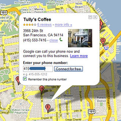
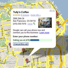
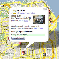
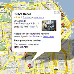
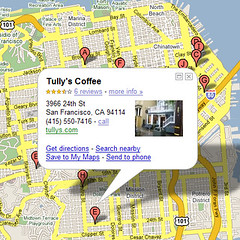
i just called my neighborhood tully's from google maps!

Calling Tully's from Google Maps! (1) Calling Tully's from Google Maps! (2)
Calling Tully's from Google Maps! (3) Calling Tully's from Google Maps! (4)
Calling Tully's from Google Maps! (5)
if the images aren't clear enough, feel free to click through them on flickr.

this is exactly where web2.0 or web3.x needs to go. i don't know how long has been available, but it's one of my favorite features of searching Google on my phone. other sites like Yelp mobile have also jumped on the bandwagon. i love being able to get an address, see a map, read a few reviews, and then hit "call" to get a reservation. or, in this case, to find out how late my local tully's is open. the answer is: 30 more minutes! so, i'm off to get a decaf latte to fuel my full night of work.